
Wednesday, 21 September 2011

Monday, 19 September 2011
Sunday, 18 September 2011
A weekend up the Lakes


 A few more Wainwrights to tick off following the weekend’s trip to the lakes. My good fortune with the weather finally came to an end, both of this years LDP's have been completed in the glorious sun, likewise all my other walks, but I have seen some weather in the last 3 days. Three days of rain and gale force winds, with Monday experiencing the effect of Hurricane Katia. Never walked in a hurricane before! According to the spreadsheet, 154 now completed, with 60 remaining, most of these being the lower fells, so I expect a few more to be completed in my pursuit to regain my mountain legs.
 The weekend's most challenging fell, (ignoring the weather) was Little Mell Fell, the first fell of the second day. Ascent of this fell from The Hause (south), where I’d parked was probably the most direct fell that I’ve walked to date. Straight up, with rain free views as well. Trouble started on the descent, rather than return the same direction I’d decided to descend to the north, following a path (ha ha) in Wainwrights pictorial guide. There was no path in the initial descent, but worse was to come. After squeezing between barbed wire and a fence to access the path, the path then became a challenge of water logged ground, trees, undergrowth and severe overgrowth, stiles which did not work (rotten), and lots of obstacles. Reaching the road at the end was most welcome.
 Monday, the third day saw me finally meeting up with Graham, who was now on the remaining week of his challenge, climbing all 214 fells in a year. Since hearing about his challenge, we'd planned to met and summit some together. However, holidays, injuries and other obstacles had conspired to stop us. With time running out, Monday was the last opportunity. On arranging the walk, little was we to know that there would be the remains of a hurricane to once again conspire against us.
 Meeting at Hartsop, in the blustery driving rain, we set off to attempt a climb onto Gray Crag. At only 200m the wind was sufficient to blow us off our feet. Not a good omen. Continually battling against the wind, with often stops to brace ourselves against the blusts, it soon became apparent that no summit would be reached that day. The summit walk was aborted after reaching the crest of the hill. With no shelter from the constant high wind which was able to blow us over if we raised ourselves from a crouched position we decided it was not safe to go any future.
 At this point, the wind removed my pro shell cap, clear from my head and sent it flying over the hill. Lost into the beck and onto Brotherswater, I thought. To make something of the day we decided to take the relative shelter of the mountain and head up the path for Hayeswater Reservoir. After ten of so minutes on the path, out of no-where sitting in a dip on the path lay my cap. How it did not make its way further down the hillside I’ll never know.
Wednesday, 31 August 2011
Bank Holiday Weekend Wanders

The Staffordshire Way has now been started with an interesting walk away from the start at Mow Cop, with great views, looking over the Cheshire Plain intoWales, North West and the Jodrell Bank radio telescope. Views were bettered following the climb onto "The Cloud". Leg1 finished at Rushton Spencer, Leg 2 looks as interesting, with a walk alongside Rudyard Water on towards Leek, this is now planned for the end of September.

 Whilst up on “The Cloud”, we were exposed to views of the Berwyn’s, sitting elevated behind the Peckforton Hills on the Sandstone Trail . The Berwyn’s being my destination on the following day (bank holiday Monday). Having climbed onto the Berwyn’s and Moel Sync back in 07, I reserved most of the route, but missed the stone circles (sheep) with an alternative walk to Craig Berwyn. Views on top were as good as I’d remembered.
 This walk with almost 1000m ascent was the first of many more mountainous walks I’m planning to regain my mountain legs, which I’ve lost in the last year. A trip to the lakes to join Graham is now planned, replacing the aborted trip from earlier this year with my sprained ankle. So, 13 summits in 3 days, in the Far Eastern Fells, with my tent making reappearance.
 Looking forward, routes across Dartmoor, the Roaches, Arenig Fach, and returns to the Arans and Cadair Idris are being planned to re-build those legs and heart muscles.
Next years LDW, the Pennine Way, has now been planned, to be an 18 day venture with a mixture of camping and hostels. (Those mountain legs will be seriously welcome for that walk) Daily schedules are now set with accommodation identified. Just when? July now looking favourable.
Wednesday, 24 August 2011
c2m concluding part

 A somewhat late second and concluding entry to my recent c2c and Thirlmere way 165 mile walk. I'd hoped to make daily entries en route as the previous years walk, but found this difficult due to time and technology issues (over 2 hours to send the previous blog). Instead, I’d kept notes, which I later used to expand upon.
Casualties of walk were a lost bandanna, on the last but one day and my foam bed roll. This ended the week having been assaulted by the plentiful quantity of tight kissing gates on the walk, which appeared go get smaller as the walk continued (or maybe I was getting bigger). Comfort wise, the foam mat was not too good, next year I will consider a low weight inflatable mat, an additional 200g to be offset
Throughout the whole walk there were a couple of common themes which kept returning, one of which was on all days of the walk helicopters were heard/seen. From them flying just overhead as we entered Patterdale, having them hover overhead during the entire walk down Haweswater, to having a late appearance, later in the walk, just as I was considering a day clear of them.
The quality of paths certainly changed from the C2C to the TW. The TW, uses local paths on the OS maps, which on the ground aren't as clear as the map.
One such occasion which will scar me for life was a diagonal crossing of a number of fields. Had I followed the roads it would have taken around 15 minutes to cover what it took the best part of an hour to actually complete. First saw me belly crawl under an electrical fence, then leap a ditch, into a bank of stingers into a field with no clear exit. (this took a number of aborted attempts as I pluck up the bottle to undertake). The choice I was presented with was to either return via the ditch and fence to the road, or climb into someone's back garden and exit along the side of the house. Option 2 was taken, being the shortest, however, during my hasty walk across the graveled surface (hard to be stealthy on that stuff) I found myself confronted by the home owner. Some fast talking and excuses saw my safe exit, as I stated, scarred for life!!!
Whilst the C2C followed a reasonable easterly route, after the initial diversion around the coast, the same could not be said for the directness of the Thirlmere Way. For the 6 days I followed the walk, I found myself zig zagging down the countryside. The walk resembled a sawtooth walk, numerous times heading east followed by a route south west. Adding numerous miles over a more direct southerly route. As the path is meant to follow the water supply line to Manchester, I can't imagine that zig zags as much. Only once on the whole route did I know I was directly over the pipes that were where the pipes cross the river Lune. Here they are carried on a bridge, so I have no idea, how many times I crossed the pipes.
Stopping at numerous campsites, there was a significant difference between those in the lakes, where the campers where based in smaller tents and generally set for quicker pitches, to those holiday type sites out of the lakes, with larger family tents and all the kit, generally delivered by vehicle. The Saturday pitch at Dolpinholme had me on such a site with my single burner stove. Having a Pot noodle breakfast, whilst all the group campers around pigged out on their full English, no jealousy there!!!
Took week to establish how to best live in a single man tent, but this ended up being comfortable and normal, so much so that the B&B I’d tested my self to on the last night at end, seemed extravagance and total indulgence and I almost missed my tent.
As a training run for next years Pennine way, it was a good exercise, but I’m now looking to remove upto 1kg from load. With the exception of the last 15 minutes of the walk, I walk was dry and mostly sunny with high temperatures, so I never tested the tent in colder or a wet environment. So any weight savings from sleeping bag size/waterproofs etc are difficult to assess and maybe offset from the need for additional fluids, given the quantity of fluid drunk this year, particularly with going up the ascent. (Plenty of that on the PW).

Thursday, 28 July 2011
c2m update

difficult. The first and main reason has been time. Walking with
others for the first four days has restricted the time at the end of
the day for blogging. Usually during my meal i would type it
in,however being with others i have had to be social.
Other time factors included the camping tasks, such as pitching and
other jobs, all excuses but i don't know where the times gone, to be
trueful, i dont know what day it is, lost track of those a while ago.
The other excuse is the keyboard on my new phone is run from touch
screen and not a pullout one like last year. As it only works with
fingers and not a probe, i am constant entering the wrong letter due
to my fat fingers, about 15 mistypes in the last sentance, bloody
fustrating all those z's instrad of a's.
I am currently on the outskirts of kendal, having just finishef a
short rest day. I am now striking south for lancastershire, in a zig
zag fashion, following the thirlmere way, when the path allows me. I
left the c2c yesterday at shap, walking over the sodden mountains to
kendal. At one stage i actually became part ot the mountain as the
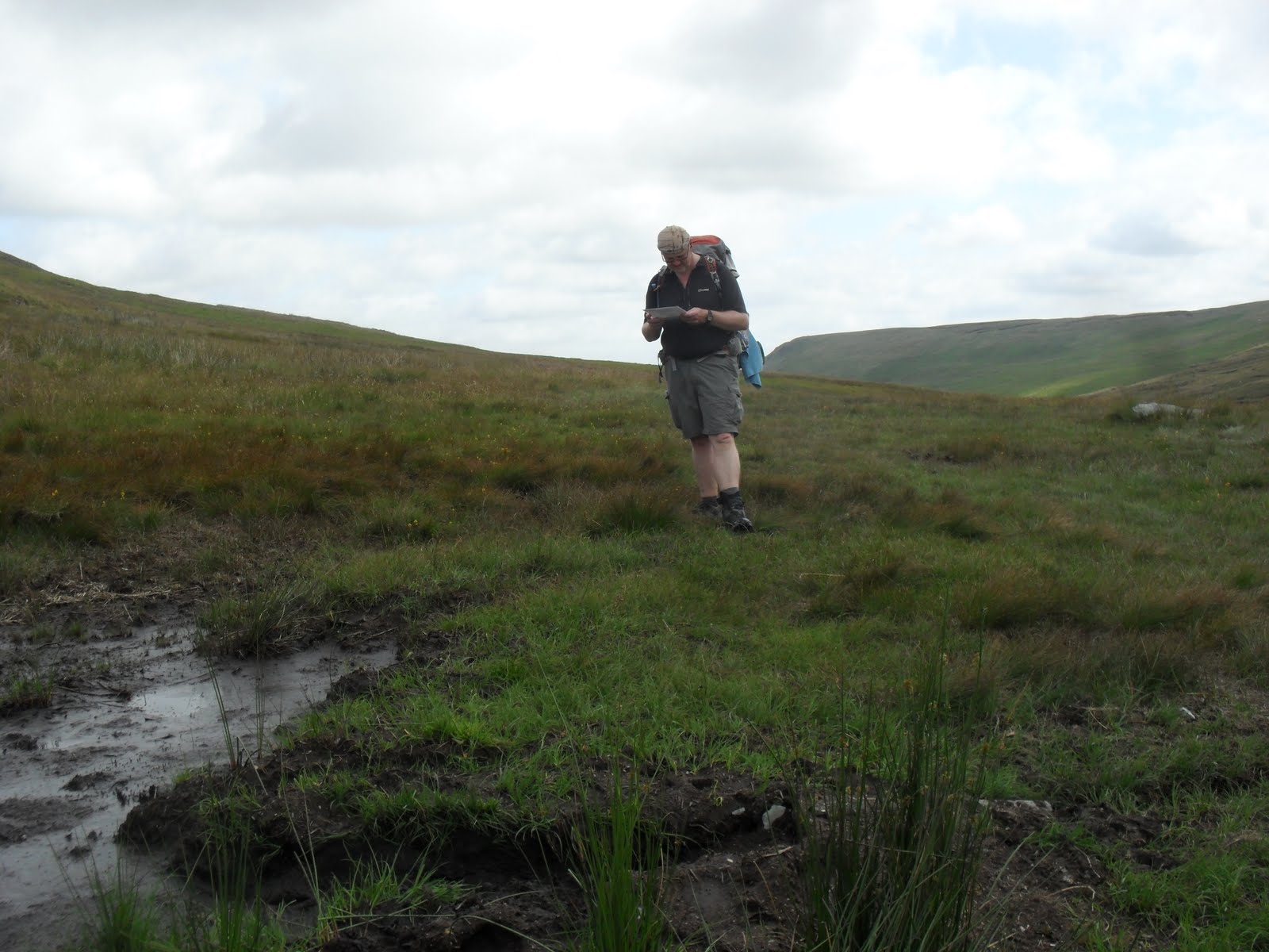
peat bog consumed me upto thigh level.
The 4 c2c days have been challenging with all the ascent in such hot,
baking weather. Thats right, hot dry and lakes, three words which dont
often go together. At the end of day two, we found ourselves in
borrowdale, wettest place in england in the glorious sunshine.
Another highlight of the first four dzys has been the comardary built
up between the walkers all engaged in completing the same legs of the
walk. The constant bumping into, having flitting chats and moving on,
not knowing names, but giving them nicknames, one group named all by
the rucksack colour..... I'll miss that now i'm away from a main
trial, jealous of ade and simon whp will probally have it to their end
of the c2c.
The downside to the warm weather has been the bugs and tje number of
times i've been bit,currentlt right wrist, calf and earlobe are
swollen from bits. Gladly though no dog events yet.
Thursday, 7 July 2011
Countdown to next LDW

Ankle now on the mend, enabling me last week to completed another leg of the Birmingham to Aberwysth walk. This walk went from Ludlow to Leintwardine, totaling 21km, over ground which was defiantly not level, a real test for my ankle's stability and strength. Looking forward to upping this to 29km this weekend, once again on the BTA walk. Once done, I'll be circa 70% completed, with finishing the whole walk likely in 2011.
Time is now getting close for my next long distance walk, this being the C2C, only this being the coast to Chorley walk, a hybrid of the usual C2C and the Thirlmere Way.
Initial plan was to walk to Kirkby Stephens and catch a bus to Kendal, but in the last week I have changed this to walk to Shap and leave the C2C a day earlier. Instead of a bus to Kendal, I plan now to walk via the Mosedale valley and the hills to Kendal, staying at Kendal YHA, which remains open.
Walk starts 23/7 some seven weeks following my ankle injury, just hoping its upto 11 days walking, no way of testing beforehand.
Rehabilitation has also included exercising on the x trainer instead of the treadmill. I have added distance covered to the ongoing simulated walk down the country, now finding myself at the bridge of Orchy.
Subscribe to:
Posts (Atom)